Health
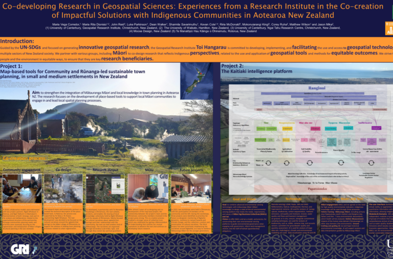
Introduction Guided by the UN-SDGs and focused on generating innovative geospatial research, the Geospatial Research Intitute Toi Hangarau is committed to developing, implementing, and facilitating the use...
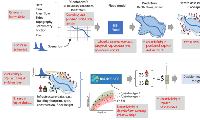
Project summary Alongside the uncertainty research, the GRI is working with NIWA to help produce consistent, open-source methodology for the national flood risk assessments. The methods...
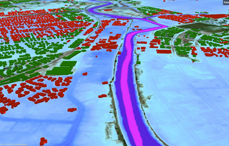
Project summary This project aims to create a “digital twin” prototype as a proof-of-concept system to assist with more efficient flood risk management. Flood inundation is...
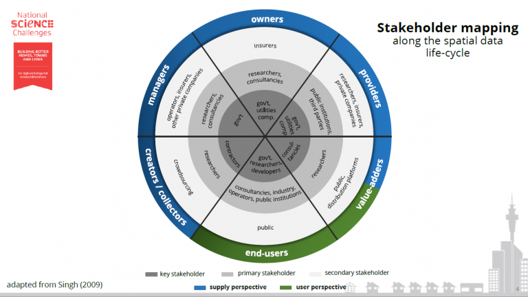
[custom_font font_family=”Open Sans” font_size=”15″ line_height=”26″ font_style=”normal” text_align=”left” font_weight=”300″ text_decoration=”none” padding=”0px” margin=”0px”] National Science Challenge 11 [/custom_font][custom_font font_size=”15″ line_height=”26″ font_style=”normal” text_align=”center” font_weight=”300″ text_decoration=”none” padding=”0px” margin=”0px”] Building Better Homes,...
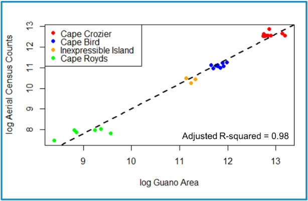
2Advancing efficiencies in remote sensing of Ross Sea Adélie penguin populations
Project Aim Identify an objective method to assess guano area characteristics over the 2009-2021 austral summers for four colonies, to improve this tool toward better
3Advancing efficiencies in remote sensing of Ross Sea Adélie penguin populations
Project Aim Identify an objective method to assess guano area characteristics over the 2009-2021 austral summers for four colonies, to improve this tool toward better

Advancing efficiencies in remote sensing of Ross Sea Adélie penguin populations
Project Aim Identify an objective method to assess guano area characteristics over the 2009-2021 austral summers for four colonies, to improve this tool toward better
