GEOSPATIAL RESEARCH SEMINAR SERIES (GRISS) – 31 May 2019
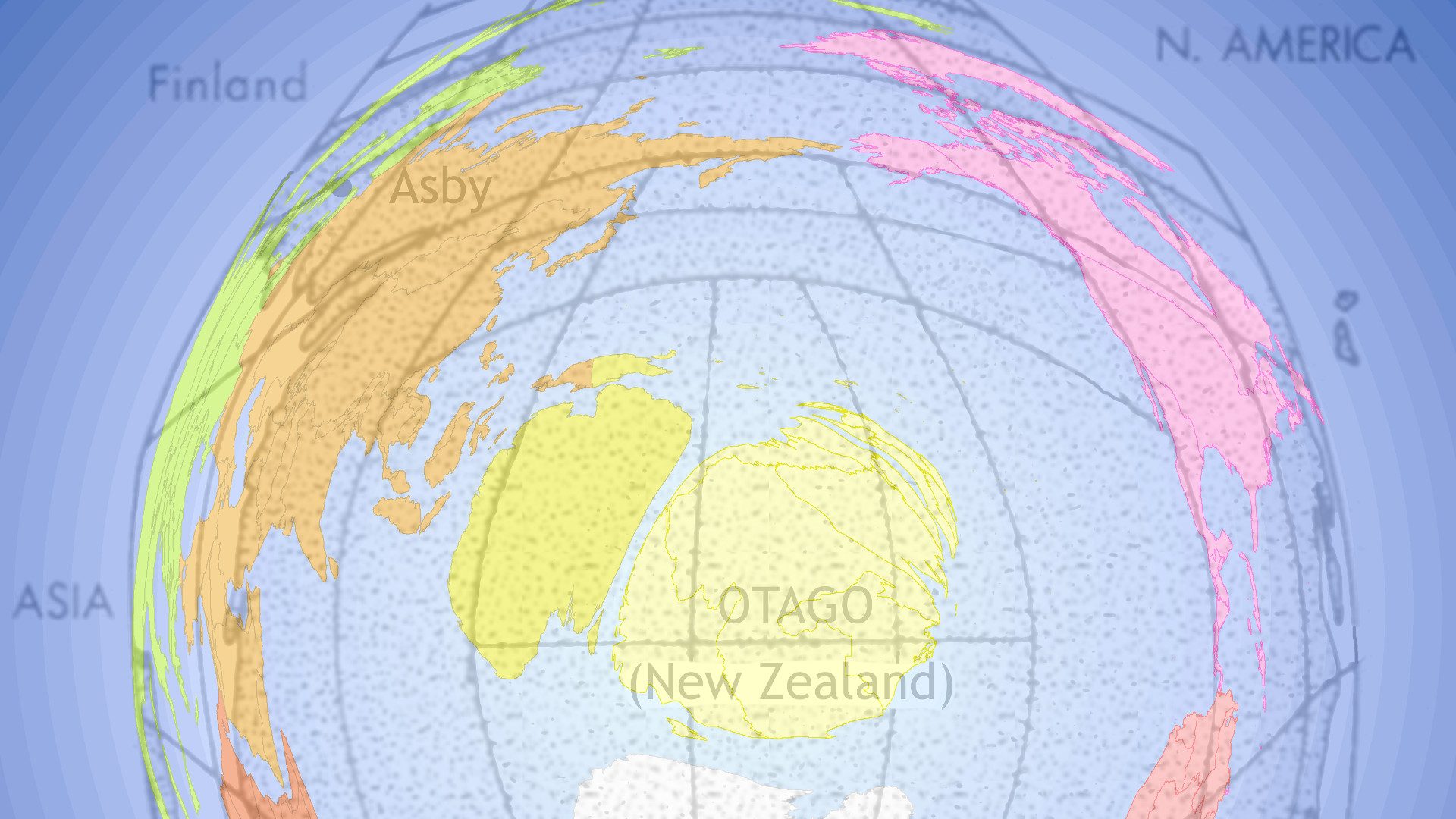
The spatial data that underpin the maps we see are often compromised by the limited space for them in the map. For example, a large amount of features have to be mapped in cities but there is comparatively less area to contain them relative to the feature-poor rural areas. We usually apply generalisation processes to select, emphasise and simplify representations of data in the map so that it “fits”. We introduce an alternative data-driven approach to allocating map space, where cartogram techniques expand or contract space to accommodate more or less data.

