Aim:
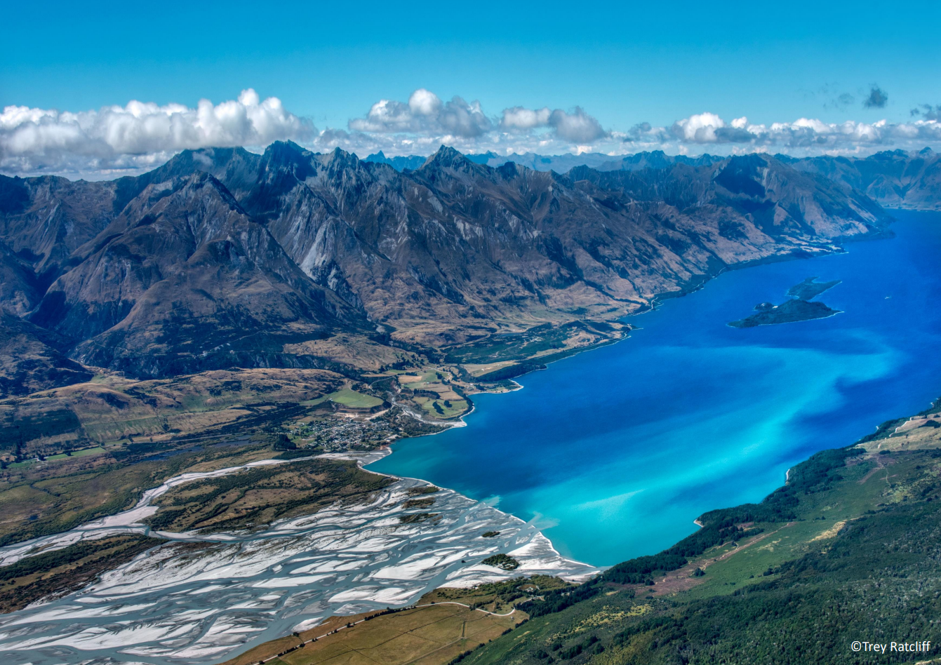
To model spatio-temporal evolution of landscapes of cultural relevance to Indigenous Māori communities in Aotearoa New Zealand, and model future evolution of engineered landforms.
Summary:
In this research quantitative terrain analysis will characterize modern landscapes, and Community Surface Dynamics Modelling System (CSDMS) tools will be use to model future evolution under different land use and climate scenarios. Selected landscapes will contain current or proposed critical infrastructure systems, geological/geomorphic features of importance to Māori, and anthropogenic/archaeological landscape features. Community engagement and local knowledge will inform study area selection. Modelling will determine conditions and timeframes that erosion and sedimentation impact infrastructure and natural/anthropogenic landscape features. Results will inform optimal strategic infrastructure development and long-term management of heritage sites and landscapes.
Skills required:
The ideal candidate will have excellent Python coding and Geographic Information Systems skills, and have an interest in developing immersive geovisualization tools.
Contact:
For more information about this exciting PhD opportunity please contact Dr Matthew Hughes: matthew.hughes@canterbury.ac.nz


