Geospatial Research Seminar Series (GRISS) – 30 Sept 2022

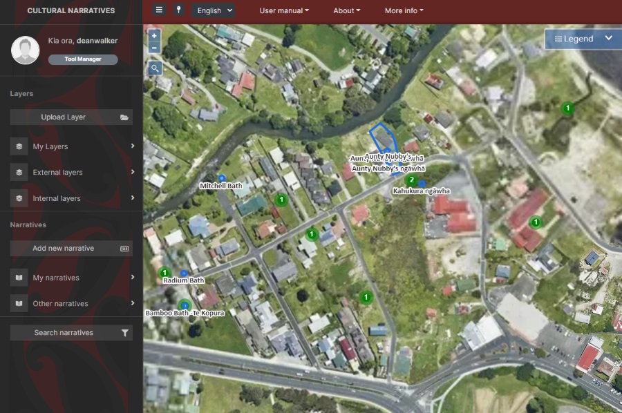
Te Kete Kōrero o Ōhinemutu is a Mātauranga Māori map-based tool co-created by the community of Ōhinemutu and the Geospatial Research Institute Toi Hangarau. Ōhinemutu is a village with deep connection to Ngāti Whakaue. Built on the shores of Lake Rotorua, it is famed for its geothermal features and Te Papa-i-Ouru marae. Te Kete Kōrero o Ōhinemutu has been built to hold and share historical narratives of Ōhinemutu as well as current community initiatives. The range of narratives includes traditional, historic, scientific and lived experiences.
