GEOSPATIAL RESEARCH SEMINAR SERIES (GRISS) – 22 February 2019

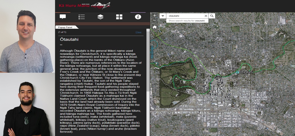
In today’s modern society, Ngāi Tahu is adopting geospatial technology as a tool to assist with the protection of Ngāi Tahu history for future generations. Led by the iwi driven Kā Huru Manu (Ngāi Tahu Cultural Mapping Project), Ngāi Tahu Papatipu Rūnanga are using geospatial technology to research and present evidence seeking protection of Ngāi Tahu cultural values through central and local government statutory planning processes, resource consent applications and restoring traditional Māori place names through the New Zealand Geographic Board process.
